Latest forecast: Landfall expected on Jamaica on Tuesday afternoon
Hurricane Melissa is forecast to make landfall on Jamaica -- likely as a Category 5 storm -- close to midday or in the early afternoon of Tuesday, depending on the speed at which it churns northeast towards the island.

Hurricane-force winds, extending 30 miles from the eye, will begin in western Jamaica by around 8 a.m. ET and end by around 6 p.m. ET.
Most wind damage is expected to occur in the western portion of the island. The capital, Kingston, will not see hurricane-force winds at any point, but will rather experience tropical storm-force conditions.

The worst storm surge is also expected on the western half of the island, where 9 to 13 feet of surge will inundate the coast. Kingston will also experience storm surge, but will escape the worst.
On the northwest side of the island, likely west of where the storm's eye will pass, the Montego Bay area could see 2 to 4 feet of storm surge above ground level.

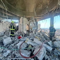
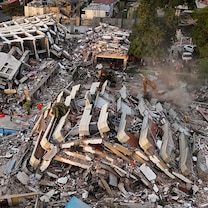
Heavy rain will affect the entire island with catastrophic flash flooding and landslides likely. Totals of 15 to 30 inches of rain are expected across the island, with some areas seeing up to 40 inches.
Southeast Cuba will feel hurricane-force wind from late on Tuesday through Wednesday morning. This will be accompanied by 7 to 11 feet of storm surge, up to 25 inches of rainfall with potentially catastrophic flash flooding and numerous landslides.

The southeast Bahamas and the Turks and Caicos Islands will feel Melissa as a hurricane throughout Wednesday, with 4 to 6 feet of storm surge expected plus some 5 to 10 inches of rainfall.
Melissa will still be a hurricane passing near Bermuda on Friday morning.
The U.S. East Coast will see rough surf, rip currents and possible beach erosion this week.
-ABC News' Kenton Gewecke